Friday 2 p.m. Update: Dorian heads away
Published 4:20 am Friday, September 6, 2019
|
Getting your Trinity Audio player ready...
|
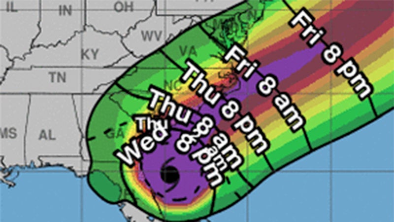
As of 2 p.m. Friday, National Hurricane Center stated that the eye of Dorian was continuing to move over the Atlantic Ocean east of the North Carolina coast with maximum sustained winds of 90 mph, maintaining the storm at Category 1, and it’s moving northeast at 21 mph. The center’s location then was at 36.2N 73.7W, about 125 miles northeast of Cape Hatteras, North Carolina, and was forecast to move away from Carolina over the next several hours.
The National Weather Service in Wakefield stated at 2:47 p.m. that the tropical storm warning for Southampton County and Franklin had been canceled. But such a warning remained then for Isle of Wight County and Suffolk, which also was under a storm surge warning. That means there was a danger of life-threatening inundation, from rising water moving inland from the coastline, during the next 36 hours in the indicated locations.
The NWS also stated that moderate winds continue across far eastern Virginia, Hampton Roads and northeast North Carolina. Wind gusts of up to 40 to 50 mph were expected through late Friday afternoon, especially close to the water. Along the immediate coast of Northeast North Carolina, gusts to 60 mph were still possible for the next few hours. There was little to no chance tornadoes would impact Western Tidewater at this time.
Further, heavy rainfall had ended across the region; however, flooding from the earlier rainfall was expected to continue through the afternoon.